In recent decades, cities have faced major challenges: rapid population growth, aging infrastructure, and the increasing demand for more efficient and sustainable services. Conventional urban management, which relies on reactive decisions, is no longer sufficient to meet these ever-growing needs.
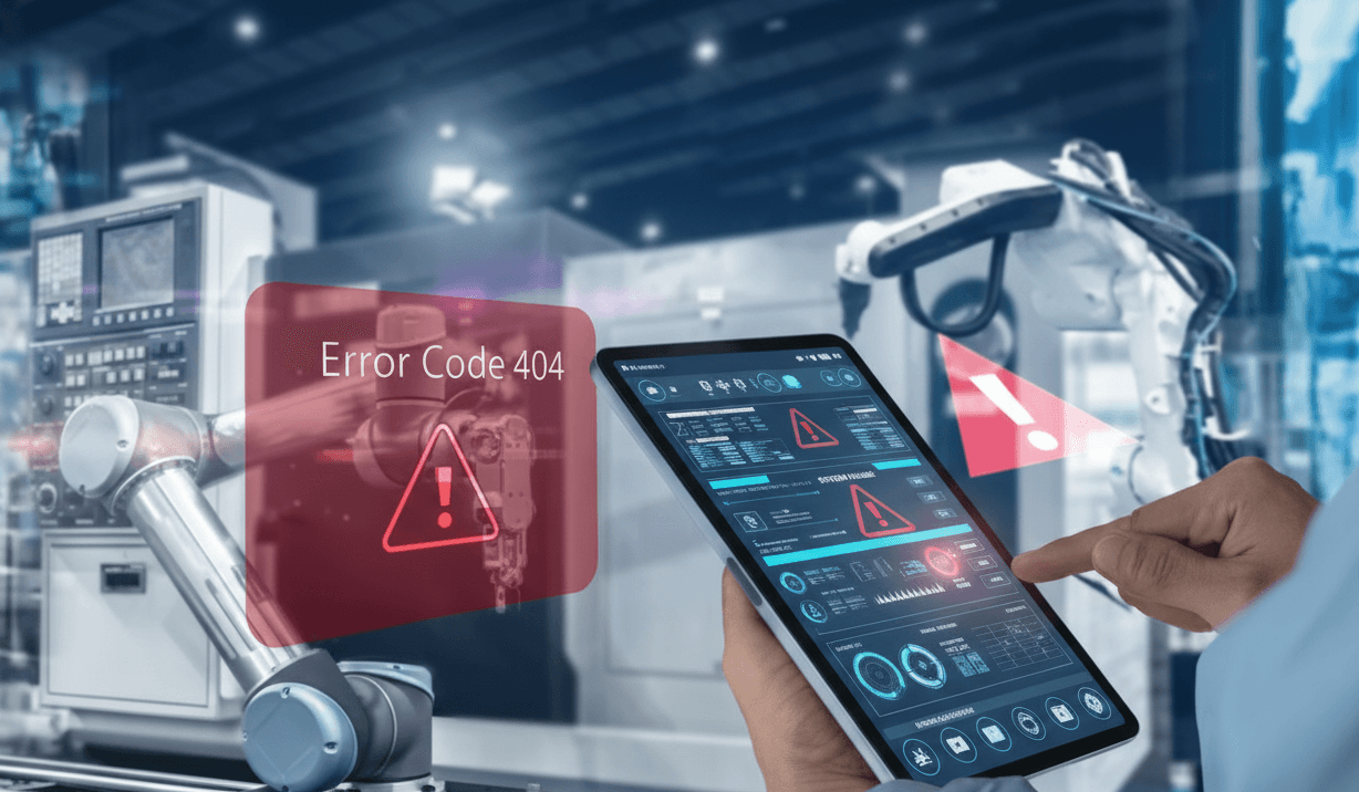
Urban management based on fixing failures, intuition, and disconnected systems is now a thing of the past. Traditional methods such as using Excel and static systems simply do not work. We need advanced tools that provide valuable insights, present clear metrics, and help identify bottlenecks and inefficiencies. Today, strong data governance is essential to maintain both operational and strategic control over our cities. This is precisely where Digital Twins come into play.
Smart cities are emerging as an innovative solution, integrating advanced technologies to improve citizens’ quality of life and optimize urban resources. Among these technologies, digital twins stand out for their ability to virtually replicate urban environments, integrate real-time data, and simulate scenarios. In this blog, we will explore how to digitize a city for the transition to a smart city, the technologies involved, the steps to follow for efficient urban planning using digital twins, and the best tools available to support this process.
Key Technologies to Transform Your City into a Smart City
For the digital transition of a traditional city towards an intelligent, sustainable, and efficient urban model, we need to integrate innovative analytics technologies and citizen-centered solutions. Here are the most important ones:
Internet of Things (IoT): IoT devices such as sensors and actuators collect real-time data. This data is stored in the cloud, enabling the monitoring and analysis of aspects such as public transport, traffic, energy consumption, environmental impact, and infrastructure conditions. IoT facilitates continuous monitoring and rapid response to events and issues.
Big Data: Enables the management of vast amounts of data in an orderly and efficient manner, using cloud services such as Azure or AWS.
Artificial Intelligence (AI) and data analysis: AI processes and analyzes collected data to detect patterns, predicting issues such as traffic congestion. This helps optimize logistics routes and promotes sustainable mobility.
Advanced Communication Networks (5G): 5G connectivity provides high speed and low latency, both essential for transmitting data from sensors distributed throughout the city. This ensures continuous awareness of monitored perimeters and enables immediate responses to events.
Urban management platforms: These digital tools centralize and manage data from diverse sources, analyze it, and contribute to the improvement of public services. They support informed decision-making and are essential for interoperability in smart cities.
They promote informed decision-making and are essential for interoperability in smart cities.
Geographic Information Systems (GIS): Deliver geolocated data on the position of sensors, traffic flows, and the condition of urban assets such as streetlights, water networks, and traffic lights. GIS tools visually assist in developing more efficient and informed urban development plans.
Together, these technologies establish the operational foundation of smart cities, enabling the transition from a traditional urban model to a digitized, intelligent, and efficient one.
How to Create an Intelligent Urban Development Plan (Practical Guide)
An urban development plan in a smart city is an integrated strategy that guides the digital transformation of a traditional city. This process involves incorporating digital technologies, data analytics, and innovative solutions into the planning and management of services to improve quality, increase sustainability, enhance resilience, and prioritize citizens.
1. Diagnosis and strategic analysis of the territory: A thorough assessment of the territory’s current condition is conducted, covering social, economic, and environmental aspects, as well as the level of digitalization of urban services. This step identifies needs and opportunities through participatory processes that actively involve citizens.
2. Definition of objectives: After the diagnosis, intelligent or SMART objectives are established that are specific, measurable, achievable, relevant, and time-bound.
3. Design of the roadmap and planning of actions: A detailed plan is created that outlines the necessary steps to achieve the objectives. It must define project phases, specific actions, responsible parties, deadlines, required resources, and the level of detail, which should align with the city’s degree of digitalization.
4. Implementation of technological solutions: This phase involves selecting and deploying the key technologies for intelligent urban management. The implementation must be aligned with the defined objectives and include scalable solutions such as advanced visualization environments and predictive analytics capabilities. Interoperability between systems is essential to prevent data silos.
5. Governance and collaborative management: Urban transformation is not only technological; it also requires a strong governance model to coordinate stakeholders, clarify responsibilities, streamline decision-making, ensure transparency in data management, and encourage citizen participation.
6. Continuous monitoring and evaluation: Finally, real-time monitoring and analytics systems must be put in place to assess the performance of urban assets. This monitoring should rely on reliable and up-to-date data, allowing deviations to be detected, bottlenecks and inefficiencies anticipated, and corrective actions taken.
Digital Twins for Control and Supervision of Smart Cities
As mentioned earlier, digital twin platforms are positioned as one of the most disruptive technologies for smart city management.They are versatile solutions that can be applied to different sectors, creating virtual replicas of plants, buildings, services, machines and specific objects. In the context of smart cities, it allows virtually replicating from specific areas to entire cities. In the context of smart cities, digital twins make it possible to virtually replicate anything from specific areas to entire cities. Data can be visualized in layers, at the map level for comprehensive monitoring, or by zones for a detailed and immersive 3D experience.
Digital twins integrate real-time data from multiple sources and protocols such as MQTT, SQL, SCADA, and ERPs, while also being able to connect directly to the data sources of urban assets and services. Potential applications include monitoring and analyzing water and electricity networks, energy plants, public lighting, mobility infrastructure, and waste management.
By monitoring urban assets in real time, anticipating problems, and planning maintenance more efficiently, digital twins enable better resource use and significantly lower operational costs.
Best Tools for Comprehensive Planning and Management of a Smart City
Urban planning is increasingly leveraging innovative technologies, leading to a growing diversity of platforms. Some focus on comprehensive monitoring through data, others enable redesign with artificial intelligence, and some specialize in deep analysis to address specific challenges. Below are some of the most powerful tools for urban planning and management:
Flypix.ai: A geospatial analysis platform that uses artificial intelligence to transform aerial and satellite images into actionable insights. It allows users from multiple sectors to train custom AI models to detect objects, monitor changes, and analyze anomalies in geospatial data.
UrbanistaAI: A participatory planning platform that applies generative artificial intelligence to co-design the future of cities. It fosters collaboration among citizens, urban planners, and authorities, enabling interactive visualization and evaluation of urban proposals.
UrbanFootPrint: An urban intelligence platform that integrates and organizes geospatial data related to the built environment, communities, and climate risks. It supports risk assessment and mitigation in infrastructure, mobility, public services, and sustainability.
UrbView: An artificial intelligence platform for smart city management that focuses on enhancing urban safety and effectively reducing crime and harassment rates.
TOKII: A digital twin platform powered by AI that enables comprehensive city monitoring and connection to any data source. It supports no-code predictive modeling and facilitates predictive maintenance.
Key Features | TOKII | Flypix.ai | UrbanFootprint |
|---|---|---|---|
Real-time Data Integration | ✅ | ✅ | ❌ |
Predictive Analytics | ✅ | ❌ | ✅ |
The information in this comparison table is for reference only and has been compiled from publicly available details on the official websites of each tool. Since digital platforms are constantly evolving, some features may have changed. Readers are encouraged to verify the most up-to-date information directly with each provider.
It is important to note that each platform specializes in different areas of smart city management. Therefore, the benefits each offers will depend on the objectives established and the type of monitoring required. The choice of the right tool should be based on the needs identified in the urban development plan.
The digital transformation of a traditional city is not simply about implementing modern technologies. It first requires an assessment of needs and strategic planning to address them. Successful implementation depends on a clear understanding of urban challenges and the coherent integration of technological solutions that respond to the sector’s real needs.